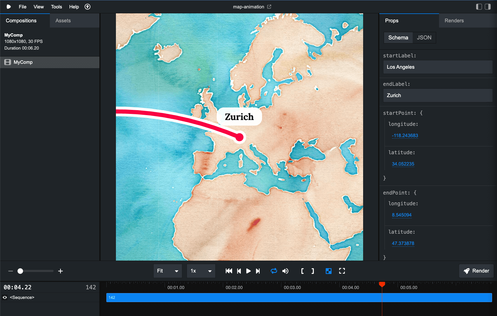
Enter any two coordinates and connect them with a line. A great way to show your travel between two locations.
It uses OpenStreetMap and the Watercolor tile design by Stadia Maps. Note that if you use this commercially or use more than 200,000 tiles a month, you also need a business license from Stadia Maps. Visit their website to see if you need a business license.
You can simply change the coordinates in the right-side panel. Everything is customizable by changing the React code - colors, timing and more. You can export these animations as MP4 as well as image sequences or GIFs.